Struggling to find us? Use the information below to locate your class, or get in contact using the following information:

07460605959 / andy@vortextkd.club

LANCASTER Scout Hut

16th Lancaster Scout Hut.
Dorrington Road, Lancaster
LA1 4TD

Map showing streets, landmarks, and nearby locations, including Lancaster Scouts, East Barn, and St. Paul's Parish Hall.
A parking lot with several parked vehicles, including a white van and a white box truck, next to a grassy area with leafless trees and a row of apartment buildings, and a small shed circled in red in the background.

GALGATE Ellel Village Hall

Ellel Village Hall.
Main Road, Galgate
LA2 0LQ

Map highlighting Elle Village Hall, Galgate Scouts, Galgate Football Club, and Galgate Waterside & Marina near a river and a village with streets and landmarks.
A parking lot with cars parked and open spaces, some trees in the background, a metal fence, a small grassy area, and buildings in the distance under a partly cloudy sky.

Carnforth High School

Kellet Road

Carnforth

LA5 9LS

Head down the small road next to the Carnforth family hub and right to the bottom of the car park (Don’t park at the swimming pool!). There will be a green gate at the very bottom leading to the sports hall. This location has a few locked security doors which can only be opened by your instructor. Please wait in the foyer of the sports centre, or if the sports centre is locked gather by the green gate and your instructor will come and collect you around 10 minutes prior to the start of class. Note - this location has limited seating for spectators.

Map showing roads, landmarks, and locations around Carnforth, including Carnforth High School, and a red oval outlining the school.
Satellite map of a school campus in Carnforth, with a red line indicating a route, starting from the bottom of the image near Kellet Road, going east and turning north to the school building. An 'X' marks a location near the school.

Overton Memorial Hall

Middleton Rd

Overton

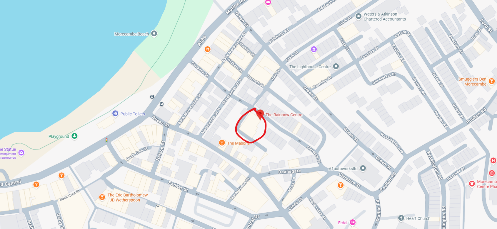
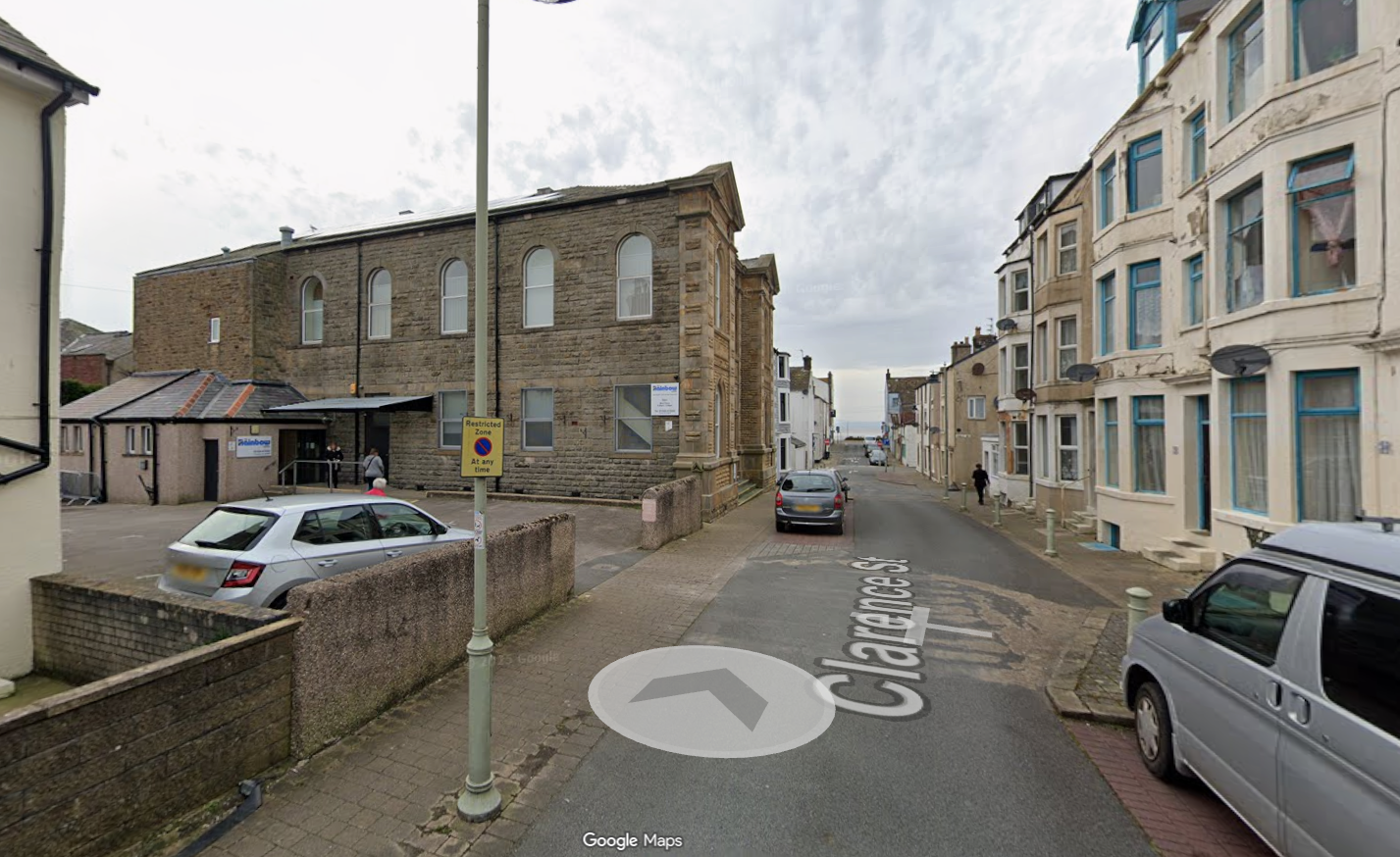
Morecambe

LA3 3HB